
Cyclone ‘Montha’ updates: Andhra, Odisha on high alert as system intensifies into severe cyclonic
The India Meteorological Department (IMD) has reported that Cyclonic Storm Montha has intensified into a severe cyclonic storm over the west-central Bay of Bengal. The system has been moving north-northwestwards at a speed of around 15 kmph over the past six hours, prompting both Andhra Pradesh and Odisha governments to heighten preparedness and initiate precautionary measures.
As of 5:30 am on October 28, 2025, the storm was centered approximately 190 km south-southeast of Machilipatnam, 270 km south-southeast of Kakinada, 340 km south-southwest of Visakhapatnam The storm is likely to maintain its strength as a severe cyclonic storm, with maximum sustained wind speeds of 90–100 kmph, gusting up to 110 kmph.
The Met department has forecast an extremely heavy rainfall in isolated places across the coastal districts of Andhra Pradesh. It issued a red alert to 19 districts.Over the next three hours, light thunderstorms accompanied by lightning and gusty winds (up to 40 kmph) are likely over parts of Annamayya, Kadapa, and Nandyal districts. Moderate rainfall may also occur in these areas.
Andhra Pradesh Chief Minister N Chandrababu Naidu said the impact of Cyclone ‘Montha’ will be intense from Tuesday morning with 3,778 villages likely to receive heavy rains.Actually, we are operating 30 to 32 movements (flights) daily, domestic as well as international. Today, all those flights are cancelled,” Purushottam told PTI.
Authorities in both Andhra Pradesh and Odisha have activated disaster management protocols. Rescue and relief teams from the National Disaster Response Force (NDRF) and State Disaster Response Force (SDRF) have been placed on high alert, and evacuation efforts are underway in low-lying and vulnerable coastal zones.Keeping in view the impending situation, the Odisha government has evacuated people from low-lying areas and also hilly terrain prone to landslides in the eight districts of Malkangiri, Koraput, Rayagada, Gajapati, Ganjam, Nabarangpur, Kalahandi and Kandhamal and deployed 140 rescue teams (over 5,000 personnel) of NDRF, ODRAF and Fire Service.
The administration has already announced the closure of schools and anganwadi centres in nine districts till October 30, while East Coast Railway has announced cancellation, diversion, and short termination of some trains operating in the Waltair region and connected routes.The people evacuated from vulnerable places are being housed in over 1,400 cyclone shelters opened in the eight districts where food and other arrangements have been made, officials said, adding that pregnant women are shifted to nearby hospitals.The IMD said rainfall will gradually subside over north Tamil Nadu from Wednesday as Montha makes landfall and weakens over Andhra Pradesh.
The cyclone’s outer rain bands brought rains to Chennai through the night, accompanied by thunder and winds. The Regional Meteorological Centre (RMC) recorded 47 mm of rainfall at Nungambakkam and 35.2 mm at Meenambakkam between 8.30 am Monday and 5.30 am Tuesday. Automated weather stations showed higher readings of 106.5 mm at Ennore Port, indicating heavy rain along with 49 mm at Chennai AWS and 42.5 mm at Puzhal.
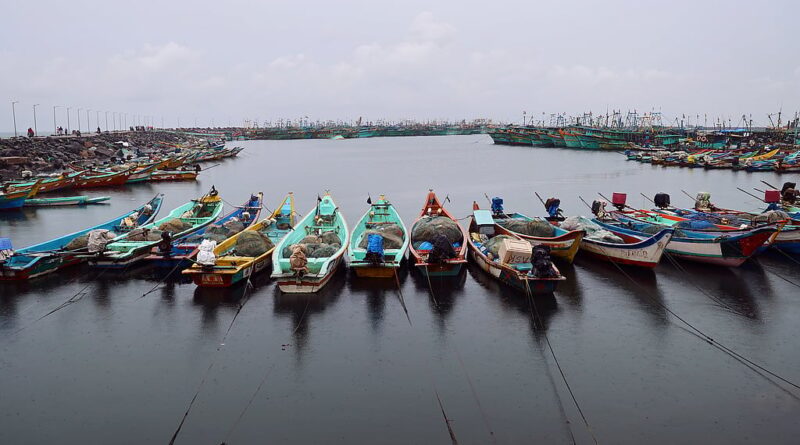
The state government has advised fishermen not to venture into the Bay of Bengal, along and off the Odisha coast, till October 29.
The weather agency also suggested hoisting of local cautionary signal (LC-III) No-III at Gopalpur Port and Distant Warning Signal
Fishermen have been advised not to venture into the sea, and ports have been asked to hoist
Meanwhile, all flights, 32 in total, operating out of Visakhapatnam Airport were cancelled on Tuesday owing to the cyclone.
Likewise, an orange alert has been issued to Nandyal, Kadapa and Annamayya districts, where heavy to very heavy rainfall is likely in isolated places.