
Amid floods, more worry for Odisha as fresh LoPAR to take shape today
BHUBANESWAR: As the flood situation in the state shows signs of easing, the respite could be short-lived with heavy to very heavy rain forecast over many areas in the coming days.
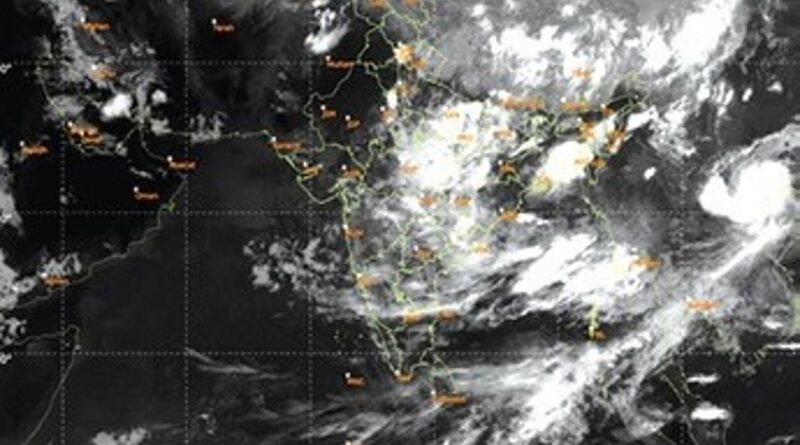
The India Meteorological Department (IMD) has forecast formation of a fresh low-pressure area over the Bay of Bengal on Sunday, which will bring more rains to the state over the next six days.
As per the national weather agency, the upper-air cyclonic circulation continues to persist over north Bay of Bengal off West Bengal-Bangladesh coasts. Under its influence, a low pressure is likely to form over the same region within 24 hours, The weather body said that many parts of the state may receive light to moderate rainfall or thundershower activity, while isolated places in northern and western districts are likely to receive heavy to very heavy rainfall (64.5 to 204.4 mm) for the next six days.
Director of Bhubaneswar Meteorological Centre Manorama Mohanty said, “One or two places in Keonjhar, Mayurbhanj, Kalahandi, Rayagada and Koraput are likely to receive heavy to very heavy rainfall on Sunday and a few places in Sundargarh and Sambalpur districts will witness similar weather condition on Monday.”The regional met office said squally weather with wind speed reaching 35 kmph to 45 kmph and gusting up to 55 kmph may prevail along and off Odisha coast for the next two days. It has advised fishermen not to venture into the sea during this period.
Meanwhile, close to one million people have been affected in the floods across six districts. The office of the special relief commissioner (SRC) Rajesh Prabhakar Patil said the situation is under control at present. However, the district administrations have been asked to remain fully alert and prepared to deal with any eventuality, in view of IMD’s forecast rain or thundershower activity in 19As of Saturday noon, water levels of all major rivers including Mahanadi, Brahmani, Baitarani, Budhabalanga, Subarnarekha and Jalaka were flowing below the danger level.