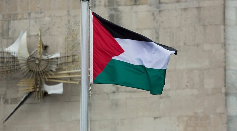
Geography and politics stand in the way of an independent Palestinian state
There has been a recent rush of countries to formally recognise the state of Palestine. Affirming Palestinian sovereignty marks a historic diplomatic milestone, yet the exact layout of its territory, a central requirement under international law, remains fiercely contested from every hilltop in the West Bank to the ruins of Gaza.But that vision quickly collapsed into the war that led to the establishment of Israel in 1948. Palestinians found themselves confined to the West Bank and Gaza Strip as fully separated territories, demarcated by the “green line” and placed under Jordanian and Egyptian control.During this time alone, the average settlement expanded by two-thirds in size. Collectively, they now occupy 151 sq km of built-up area – compared to 88 sq km ten years ago – a 72% increase. Adding to this are hundreds of new settlements, especially with a wave of approvals following October 7 2023.The most realistic governance scenario involves a restructured PA administering both territories. It’s likely this will still be dominated by Fatah but with fundamentally reformed structures and Despite massive challenges, building a functioning Palestinian state is not impossible. So recognition can be more than a symbolic act. Already, it’s reshaping in tangible ways how major powers engage with Palestinian representatives while applying meaningful pressure on Israel’s leaders.
But as nations line up to recognise Palestine, they must confront what they’re actually recognising. Given the vicious cycles of settlement
These initial contours remain the internationally recognised basis for Palestinian statehood until today – and are referred to as the “pre-1967 borders”. That year,
To grasp what this moment means, we need to trace how borders have evolved – or dissolved –

